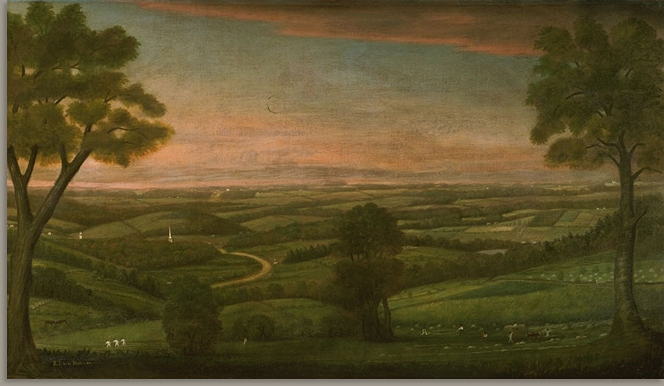
Ralph Earl, "Looking East from Denny Hill" [Leicester, MA], 1800. Worcester Art Museum.
For this installment of "This Old Neighborhood," AHF decided to try something different: creating a map of Worcester shortly after this third and final establishment. We drew from a variety of eighteenth and nineteenth-century sources to reconstruct the town as it appeared in 1720. The map includes major roads, defensive garrisons, houses of worship, a burying ground, saw/grist mills, a tavern, and nineteen of the fifty-eight residences reported to have been built by that early point in the town's history. All locations are approximate.
In 1720, Worcester's population is estimated to have numbered two hundred. The town was largely pastoral, yet already saw mills and grist mills - the beginnings of industry - were appearing along the many streams that coursed through the hilly terrain. A web of footpaths criss-crossed the meadows and forests, skirting beaver ponds, many following Nipmuc routes. Some had been widened into roads, which remain important thoroughfares in Worcester today: Main Street, Plantation Street, Pleasant Street, Burncoat Street... The town quickly expanded, growing more populous and prosperous by the year. How to use the map: Click the rectangular icon in the map's upper left corner to access the key, description, and sources. Clicking on the map's individual icons (e.g. houses, horses, etc.) will cause labels and descriptions of each feature to pop up. To zoom in and out, click the + and - symbols in the bottom left corner. |
AuthorArchitectural Heritage Foundation (AHF) is working to preserve and redevelop the Worcester Memorial Auditorium as a cutting-edge center for digital innovation. Archives
May 2022
Categories
All
|
 RSS Feed